Flood Cell 1
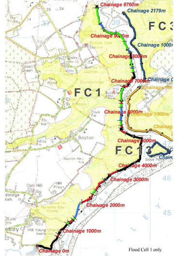
Click the image above to view the Flood Cell 1 map with colour key
INTRODUCTION
Flood Cell 1 runs from Hollesley Bay Young Offenders Institution, along west side of the Ore Estuary and Butley River as far as Butley Low Corner. Most of the Hollesley and Boyton Marshes are in permanent wet grassland with freshwater ditches. There are 765 hectares in the flood cell over 60% of which is arable. Two ancient or semi-natural woodlands, Carmen’s and Boyton Wood, are within the flood cell. The RSPB own the Boyton Marshes Reserve and have recently bought more land to add to this reserve. Wildlife habitats behind the walls include ditches with reed buntings, little grebe and kingfisher, fields with hares, flight area of barn and short eared owls, range of birds including lapwing, egret, swans, varieties of gulls.
…………………………………………………….
UPGRADE DESIGN PLAN
The map above and the upgrade design document below detail the work we need to do.
To Download the full plan, please click the link below